





Introduction: understanding local weather from the Alpilles to the Côte d’Azur
Provence is not a single, uniform weather zone. From the dry, limestone ridges of the Alpilles to the milder, maritime climate of the Côte d’Azur, a patchwork of microclimates shapes everything: plant life, architecture, outdoor plans, and even regional cuisine. Reading these differences is crucial for any traveler who wants to time hikes right, pick suitable accommodation, and pack appropriately. This article offers a practical, professional, and detailed guide to anticipating local weather from the Alpilles (Bouches-du-Rhône) to the Côte d’Azur (Alpes-Maritimes), including the Rhône plain and coastal hills.
We’ll cover dominant climatic patterns, the subtle variations from village to village, and give hands-on tips — useful addresses, opening hours for tourist offices or local meteorological services, typical costs for guided visits or permits, and recommendations for gearing up. Microclimates can be abrupt: a sunny morning in Salon-de-Provence (13300) can turn into a Mistral gust by midday, while a sheltered bay on the Côte d’Azur will stay pleasantly mild even in winter.
The Mistral, the tramontane, daytime and nighttime sea breezes, thermal inversions in valleys, and Foehn effects on mountain foothills are local phenomena worth knowing. They also shape tourism seasons and impact concrete plans: when to hike in the Alpilles, which day is best for kayaking near Cassis, or how to organize a day visiting Avignon, Arles, or Nice. We’ll illustrate these tips with specific places: tourist offices, local weather stations, museums and hiking routes — with addresses and practical information so you can plan independently.
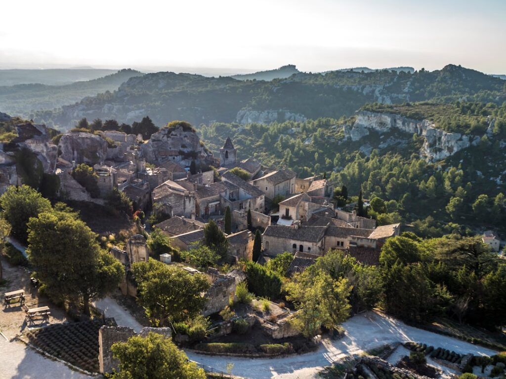
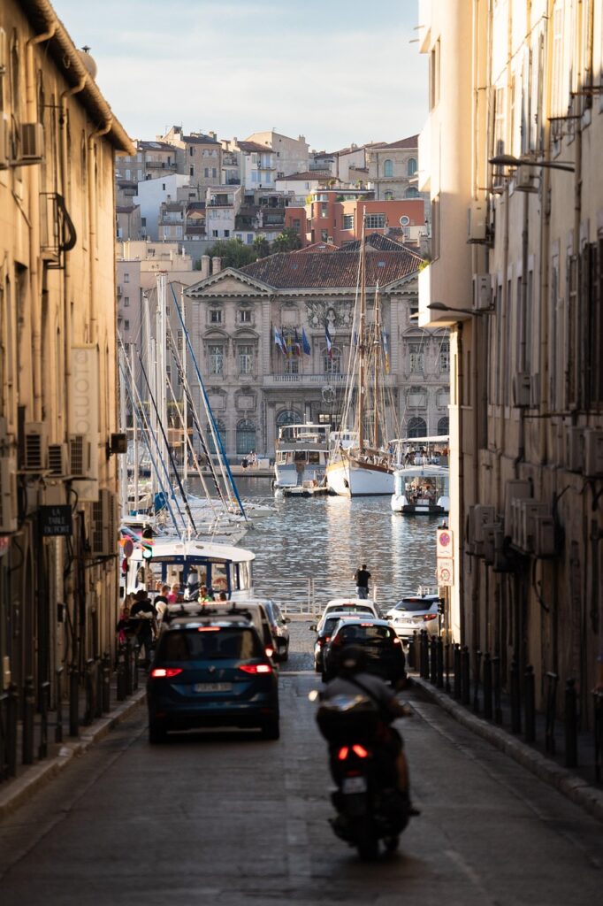
Finally, this guide includes concrete local advice: where to buy an appropriate windbreaker, the best time of day to hike to avoid the plains’ heat, how to read fire risk signs in summer, and which apps or services provide forecasts tailored to the microclimate you’re visiting. The images provided (as markers) will help you picture the typical landscapes: lavender fields on plateaus, limestone Mediterranean cliffs, narrow alleys of hilltop villages, and the sheltered harbors of the Riviera.
1) Microclimates of the Alpilles: from hot-dry slopes to the sharp gusts of the Mistral
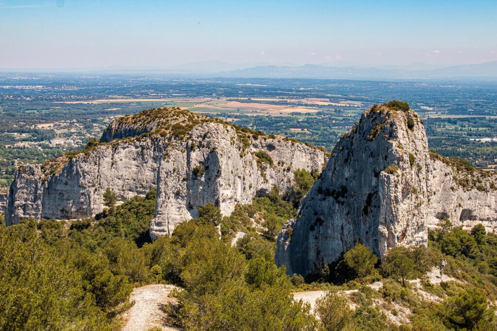
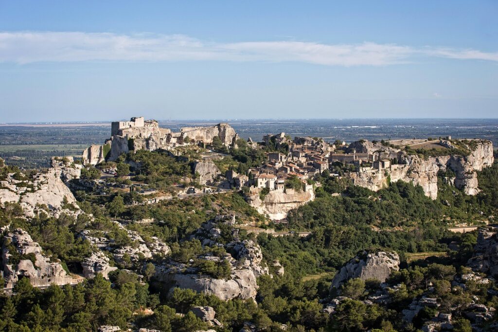
The Alpilles are a small limestone range nestled between Eygalières (13810), Saint-Rémy-de-Provence (13210) and Les Baux-de-Provence (13520). The relief is modest (highest point: 498 m at Mont Gaussier) but enough to create pronounced microclimates. South-facing slopes (for example Route des Baux, 13520 Les Baux-de-Provence) are drier and hotter in summer; vegetation there is xerophilous (juniper, kermes oak, thyme) and soils drain quickly. By contrast, valley bottoms retain moisture and can experience thermal inversions in winter: nighttime frost is possible despite generally high sunshine hours.
The Mistral remains the dominant weather factor. This west-northwest wind funnels down the Rhône valley and can strengthen to storm force at times. In Saint-Rémy-de-Provence, the Tourist Office (Address: 4 Rue du Dr Tzanck, 13210 Saint-Rémy-de-Provence) is open daily from 9:30 to 12:30 and 14:00 to 17:30 (high season: 9:00–18:00). They provide local advice, hiking maps and specific weather bulletins for the Alpilles. Cost: free consultation; printed maps €2–€5 depending on size.
Practical tips: pack a lightweight but sturdy windbreaker (local shop price range: €50–€120), a strap hat and sunglasses. In summer, prioritize morning hikes (start before 9am) to avoid heat and gusts. In winter, check for icy patches on parking areas and shaded trails. Hilltop villages like Les Baux-de-Provence (Route des Baux, 13520) tend to be slightly cooler than the plain, and the weathering of limestone creates little shaded niches that visitors appreciate. For precise local forecasts, the nearest weather station is Météo-France’s Avignon-Caumont station (Address: 201 Avenue Maurice Bouffier, 84000 Avignon — office hours 9:00–17:00, visits by appointment), or use the Meteo-France website with the commune’s INSEE code.
2) The Rhône plain and the Camargue: humidity, morning mists and quick shifts
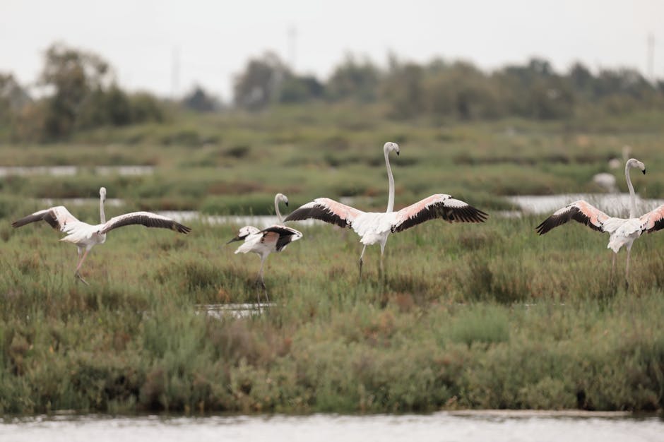
East of the Alpilles, the Rhône plain and the Camargue (Parc naturel régional de Camargue, 13200 Arles) have a microclimate shaped by large waterways and marshy soils. The proximity of the delta produces frequent morning mists and slower temperature swings: moderate daytime heat in summer but evenings that stay cooler. Glassworts, reedbeds and ponds create humid pockets where temperatures fluctuate less than at higher elevations.
Visit the Arles Tourist Office (Address: Place de la République, 13200 Arles — hours: 9:00–12:30 and 14:00–18:00 in season, closed Sunday mornings off-season). Guided tour rates at the Parc naturel régional de Camargue: €8 full price, €5.50 reduced (duration 1h30). The Musée Réattu in Arles (Address: Place de la République, 13200 Arles) is open 10:00–18:00 (closed Tuesdays); admission €6 full price, €4 reduced — check summer hours which can vary.
Seasonal risks include autumn/winter mists and fog that sustain humidity, and in summer sudden, sometimes violent, localized thunderstorms. Marshes can increase insect activity (mosquitoes); bring effective repellent (local pharmacy price: €6–€12). This microclimate is ideal for birdwatching and nature observation: the Maison du Parc naturel régional de Camargue (Address: 1 Rue des Aigrettes, 13200 Arles — hours: 9:00–17:00 off-season, 9:00–18:00 in summer) offers maps, guided outings and exhibitions for €3–€10 depending on the activity.
3) The Provençal coast: from local instability to maritime mildness
Heading down to the sea, from Marseille (13000) to Toulon (83000), and then eastward to the Côte d’Azur, you encounter coastal microclimates governed by the sea and coastal topography. Sheltered coves (e.g. Calanque de Sormiou, Route du Parc National, 13009 Marseille) enjoy more stable temperatures: daytime sea breezes temper the heat, and nights stay milder. In Marseille, the Tourist Office (Address: InterContinental Marseille – Hôtel Dieu, 1 Place Daviel, 13002 Marseille — hours: 9:00–19:00 in season) provides calanque maps and safety information (shuttle fares to the calanques: roughly €7–€12 depending on route and season).
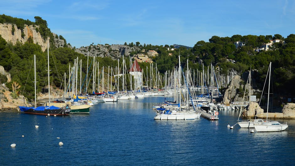
Small bays along the Côte Bleue and the coast vary dramatically: orientation, water depth, and whether a channel is exposed to the wind or sheltered by cliffs all affect water temperature and sea state. For boating and water sports, check with the Harbour Master at Port de Cassis (Address: Port de Cassis, 13260 Cassis — hours: 8:00–19:00 high season); mooring fees vary (day rate: ~€25–€60 depending on boat size, season and services). Swimming is often most pleasant early morning or late afternoon when winds die down.
Local precautions: in summer the sea can feel cool even on very hot days, especially in deep coves. Wind can make sailing challenging quickly; check local bulletins (Météo-France marine, bulletins available at ports and tourist offices). For textiles and sun protection, the shop « Pharmacie de la Plage » at 12 Avenue du Docteur Michel, 13260 Cassis, sells SPF50 sunscreens for around €15 and anti-dehydration sprays. Note some coastal trails (the coastal path/sentinel paths) close or are regulated during fire-risk periods: information boards are available at town halls (e.g. Mairie de Cassis, 3 Boulevard de la Republique, 13260 Cassis — hours: 8:30–12:30, 13:30–17:30).
4) Côte d’Azur and the inland hinterland: alpine microclimates meet Mediterranean mildness
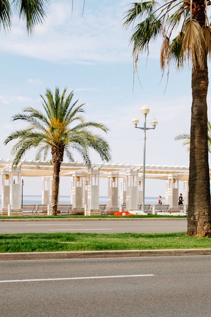
The Côte d’Azur (Nice, Cannes, Antibes, Monaco) blends maritime influence with alpine airflows and steep terrain that create sharp climatic gradients over short distances. Nice (06300) enjoys a mild climate, but if you climb into the hinterland — for instance Saint-Martin-Vésubie (06450) or the Mercantour National Park (Main entrance: Saint-Martin-Vésubie, Place de la Libération) — temperatures drop quickly and snow can occur at altitude outside the core winter months. The Nice Tourist Office (Address: 5 Promenade des Anglais, 06000 Nice — hours: 8:30–18:30 in season) provides local weather briefs and adapted excursion options.
Azuréen microclimates also bring coastal drizzle and localized thunderstorms. Cannes (06400) and Antibes (06600) are often sunny, but a storm can develop within hours inland (for example Grasse, 06130). The local meteorological service bulletin (Météo-France stations Nice-Côte d’Azur, Avenue Simone Veil, 06200 Nice — contact online via MétéoFrance) is recommended for mountain activities (hiking, mountain biking). Lift and alpine activity pricing varies widely: for example, the Col de Braus tourist cableway is free, while guided high-mountain activities (with guides) cost roughly €50–€150 per person depending on duration.
Practical advice: if you plan a combined sea-and-mountain day (for example: Nice in the morning, an afternoon hike inland), bring layered clothing: a breathable tee (€15–€40 in local shops), a light fleece (€30–€80) and a lightweight waterproof jacket (€50–€150). In winter, book accommodation and transport early: Nice-Ville train station (Address: Place Claude Grassin, 06000 Nice — ticket desk open 6:00–22:00 at the main station) serves most valleys. For boating and yachting, Port Vauban in Antibes (Quai Maréchal Leclerc, 06600 Antibes) provides local weather information and maritime monitoring services (hours vary by season, harbour reception typically 8:00–18:00).
Conclusion: tailor your trip to Provence’s shifting microclimates
Traveling between the Alpilles and the Côte d’Azur means crossing a string of microclimates that call for flexibility and preparation. The Alpilles demand planning for Mistral and dry south-facing slopes; the Rhône plain and Camargue require attention to humidity and mist; the Provençal coast offers a wide range of conditions depending on bays and cliffs; and the Côte d’Azur combines maritime mildness with alpine surprises if you head inland. Knowing these differences helps you optimize routes, choose the best times of day, and avoid weather-related headaches.
Before you go, check local resources: tourist offices (Saint-Rémy-de-Provence, Arles, Marseille, Nice), Météo-France stations (Avignon, Nice), and harbour masters for marine conditions (Cassis, Port de Nice, Port Vauban Antibes). Pack layers, a reliable windbreaker, insect repellent for the Camargue, and suitable sun protection for the coast. Also verify seasonal trail closures (info at town halls) and summer fire alerts — these are often posted at massif entrances and on municipal websites.
Finally, trust local knowledge: a few minutes’ chat at the Tourist Office or with a harbour master will often give you priceless tips on the ideal departure time for a hike, the most sheltered cove for a swim, or the safest day to cross a plain exposed to the Mistral. Accurate weather prep will make your stay in Provence safer, more comfortable, and far richer in sensory discoveries: the smell of the garrigue, the low sun on limestone, and the sea always acting as a quiet barometer of local weather.