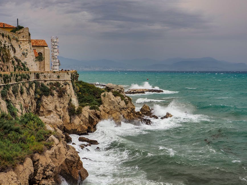






Introduction — Winds, currents and tides: why the Provençal coast demands respect and preparation
Provence, with its limestone cliffs, pebble beaches, turquoise coves and long coastal stretches, draws millions of visitors every year. From Marseille to the Gulf of Saint-Tropez, from the Camargue to the Hyères islands, the Mediterranean serves up breathtaking scenery and a host of water activities. But beneath that beauty lie powerful natural forces: regular winds, local currents and changes in water level that can turn a boat trip or a swim into a dangerous situation if you’re not properly informed. This article aims to be a practical, detailed and locally-focused guide to coastal risks in Provence: understand the phenomena, know where and when they occur, spot the warning signs and adopt preventative and responsive behaviors.
The first thing to remember is that the Mediterranean is not the Atlantic: tidal range is generally small (often under 1 metre), but winds can be fierce (notably the Mistral and the Tramontane) and local currents can be intense, especially around capes, river mouths and the channels between islands. Incidents tend to happen where the seabed topography, coastal layout and wind interact to concentrate energy. So even a beach that seems sheltered can become treacherous when the wind shifts or swell builds on the lee side of a headland.
This guide is aimed at residents, holidaymakers, recreational boaters, divers, kayakers and coastal hikers. We’ll outline the main regional winds, notable currents (and where they occur), the reality of tides in Provence, local signage and services (harbour masters, lifeguard stations, nature reserves), plus practical recommendations: trip preparation, gear to bring, useful emergency numbers and precise addresses for information, equipment rental and rescue services. You’ll also find advice tailored to specific spots like Marseille’s Old Port, the Calanques of Cassis, the Hyères islands (Porquerolles, Port-Cros), the Toulon coastline, and the Camargue. The goal: help you enjoy the sea safely, and know when to move away from the water, head for shelter or call it off.
Finally, this document includes practical references — exact addresses, indicative prices in euros and opening hours — to make things easier in the field: where to check local weather, where to catch a ferry to the islands, where to rent a kayak or a wetsuit, and which access points to avoid on windy days. The scenarios and tips are designed for immediate use: always check real-time bulletins from local authorities before any sea activity. The sea is beautiful and generous, but it’s also unpredictable — caution, preparation and following the rules save lives.
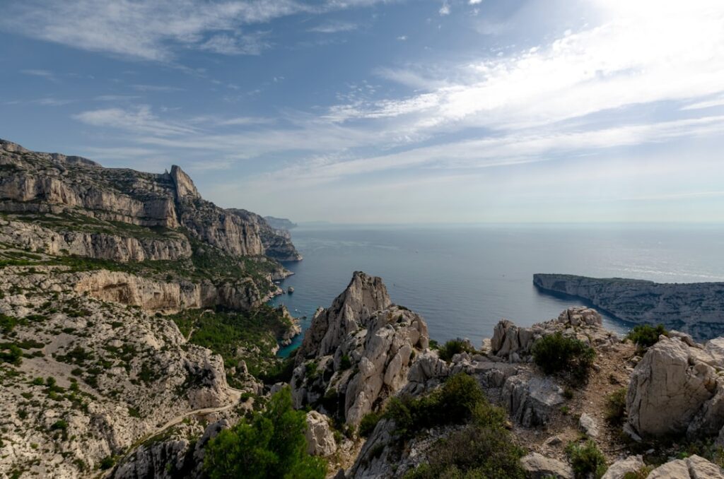
The main winds in Provence: Mistral, Tramontane, Levant — features, timing and areas affected
Provence is famous for its winds: the Mistral, the Tramontane and easterly winds (Levant). Each has distinct characteristics that affect the sea and coastal safety.
The Mistral is the region’s signature wind: a cold, dry and often very strong northwest wind that funnels down the Rhône valley and hits the coast from the Gulf of Fos and Marseille up towards Toulon. Gusts can exceed 100 km/h on the coast and create a short, choppy sea with waves breaking perpendicular to cliffs and powerful counter-currents at the exits of gulfs. Particularly exposed areas include the mouths facing the Bay of Aigues-Mortes, Marseille’s roadstead, and the channel between Porquerolles and the Var coast. Duration: the Mistral can last from a few hours to several days. Timing: it can pick up suddenly in the early morning and stay strong all day. Visitors should avoid launching boats from small exposed harbours like Port de la Madrague (Marseille) when Météo-France warns of a Mistral episode. Local reference: the Harbour Master at Marseille’s Vieux-Port (Quai de la Fraternité, 13001 Marseille) often issues sailing advisories when the Mistral is blowing.
The Tramontane is similar to the Mistral but originates over the northwest in Roussillon and can funnel down towards the Provençal coast. It’s especially felt in the western part of Provence-Alpes-Côte d’Azur and on exposed capes. On the Var coast the Tramontane can coincide with the Mistral, worsening sea conditions.
The Levant (Llevant) is an east or southeast wind that brings swell and ground-swell from the open sea. On the Var coast (Bandol, Saint-Tropez, Hyères), the Levant generates long waves and alongshore currents that can make swimming in unsupervised coves hazardous. It can also warm the air and create a more regular but powerful sea that’s challenging for small craft.
Timing and bulletins: Météo-France Provence-Alpes-Côte d’Azur publishes local weather bulletins and wind warnings (official website and mobile app). Useful address: Météo-France, Regional Office Provence-Alpes-Côte d’Azur, 5 Avenue de la Figonne, 13003 Marseille. Reception hours: Monday–Friday 9:00–17:00 (check online). For boaters and activities: consult the Météo-France coastal bulletin or KERAUNOS for gust forecasts. Cost: online consultation is free; some personalized alert services through apps may cost (roughly €0–€5/month depending on options).
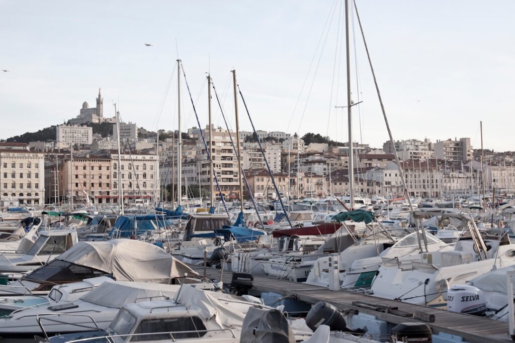
Coastal currents and hazardous configurations: capes, channels and river mouths to know
Currents in the western Mediterranean mainly result from local pressure gradients and seabed topography. Unlike large Atlantic tides, the Mediterranean is often “pushed” against the coast by wind, producing strong but localized currents. Here are the risky configurations in Provence and areas to watch.
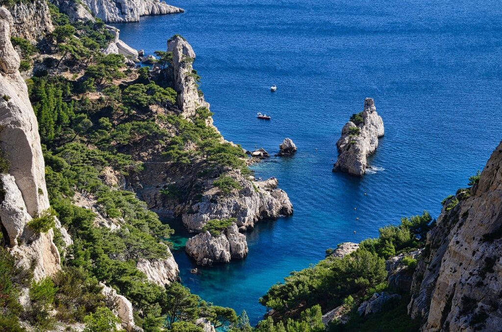
- Exposed capes: Cap Canaille (Route des Crêtes, 13260 Cassis) creates eddies at the mouth of Cassis bay; swell can amplify along the flanks of the headland. Divers and kayakers approaching the cliffs should take care. Busy car parks: Parking de la Grande Mer (Avenue des Calanques, 13260 Cassis), indicative rate €3–€6/hour, sometimes closed in fire-risk periods.
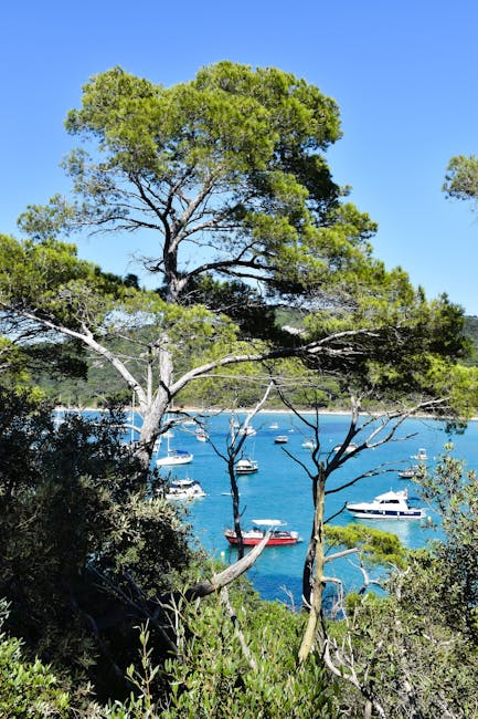
- Channels between islands: The channel between Porquerolles (Port de Porquerolles, Place d’Armes, 83400 Hyères) and the mainland can form strong current “jets” when wind pushes water through. Ferries: Compagnie TLV / Navettes Sud – departures from Vieux-Port, Quai des Belges, 13001 Marseille; indicative one-way fares to the Calanques €25–€40 depending on destination, schedules vary (high season 08:30–19:00).
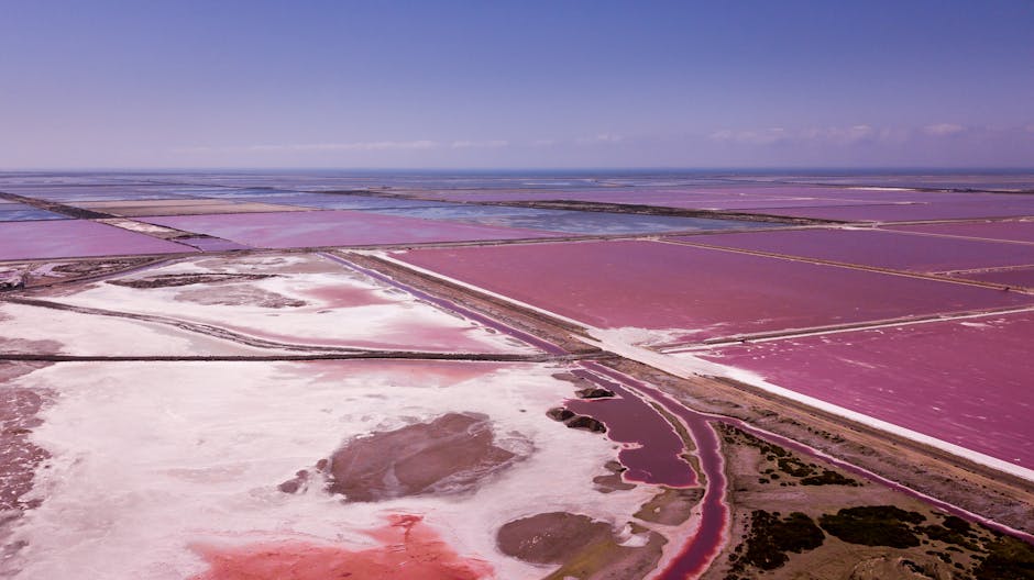
- River mouths: At the Rhône mouth and in the Camargue (Parc naturel régional de Camargue, Route du Vaccarès, 13200 Arles), currents and sandbanks shift quickly. Boats should follow marked channels; swimming is often discouraged outside supervised areas.
- Local accelerations: The gaps between rocky islets and capes (e.g. between the Hyères islands: Port-Cros and Porquerolles) concentrate current and swell. Water can pull offshore near these throats, creating sudden current drops that are hard for inexperienced swimmers to handle.
Practical tips to spot a dangerous current: the water’s color changes (sediment mixing, irregular wave patterns), floating debris or objects being pulled out to sea, or waves that seem to “pull” perpendicular to the shore. Self-rescue technique: if caught in a rip current, don’t swim directly against it; swim parallel to the shore to escape the current’s channel, then head back to the beach at an angle. Learn this method before you go swimming.
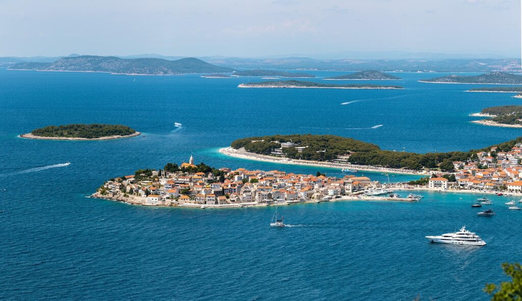
Tides and sea level in Provençal Mediterranean waters: reality, implications and reference points
Tides in the Mediterranean are modest: average amplitude often ranges from 0.2 to 0.8 metres depending on location and lunar phase. That can lead some visitors to underestimate the significance of water-level changes. Yet even small variations can alter currents, make rocky coves inaccessible and amplify wind effects.
Key points:
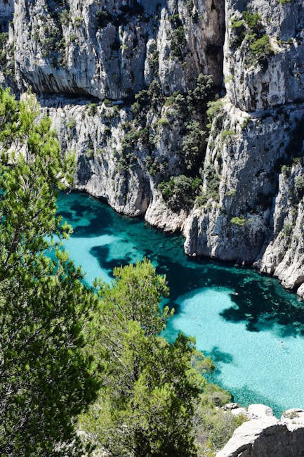
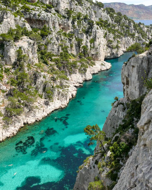
- Small amplitude but local effects: Sheltered harbours like Marseille’s Vieux-Port (Quai de la Fraternité, 13001 Marseille) don’t see large level changes, but the combination of wind + swell can cause temporary storm surges and breaking lines inside coves. In confined spots like Calanque d’En-Vau (access from D141, 13260 Cassis), level changes can interfere with boat access to anchorages.
- Weather and air pressure: A drop in atmospheric pressure can temporarily raise sea level (storm surge effect); conversely, sustained offshore wind can “pull” water away and lower levels near the shore.
- Tide charts and tables: Local tide tables are published by SHOM (French Naval Hydrographic and Oceanographic Service). Useful address: SHOM – 13 rue du Port, 29200 Brest (national service). For Provence, consult local tables available at harbour master offices: Harbour Master’s Office of Port of Toulon (Place Monsenergue, 83000 Toulon), reception hours 08:00–12:00 / 14:00–17:00, free info on tide times and anchorage areas.
Practical implications:
- Check high and low tide times before a coastal hike; some access routes to the calanques can be submerged or dangerously slippery.
- For scuba diving, knowing tide coefficients and current conditions is crucial: rock formations can be hazardous under strong current.
- If you’re in a small boat or on a paddleboard, factor in the tide and wind strength: a short outbound trip can become a long return if the wind picks up or the current reverses.
Local services, harbour masters, rescue teams and practical addresses for information and equipment rental
Preparation means relying on local players: harbour masters, lifeguard stations, rental companies and professional guides. Here’s a selection of useful contacts and places with addresses, opening hours and indicative prices.
- Harbour Master, Marseille Old Port — Address: Capitainerie du Vieux-Port, Quai de la Fraternité, 13001 Marseille. Hours: 07:00–19:00 (high season). Services: local weather info, anchorage permits, safety advice. Fees: berthing/day varies by size, approx. €20–€60/day for a standard pleasure craft (contact the port for a quote).
- Calanques National Park — Headquarters — Address: Parc national des Calanques, Administrative Centre, 9 Rue de la République, 13009 Marseille. Hours: 09:00–12:30 / 14:00–17:00 (Mon–Fri). Services: trail maps, regulations, navigation and access restrictions during fire risk. Prices: brochures and maps free; guided hikes organised by licensed operators €15–€35/person (check dates).
- Ports office of Cassis (Cassis Embellie) — Address: Port de Cassis, Avenue Pasteur, 13260 Cassis. Hours: 08:00–19:00 (high season). Rentals: sea kayak €20–€40/hour, stand-up paddle €15–€25/hour, guided or supervised outings €45–€80/person for a half-day.
- Ferry company for the Hyères islands — Example: Port-Cros / Porquerolles shuttle — Departure: Hyères ferry terminal, Quai Sud, 83400 Hyères. Fares: Porquerolles one-way from Hyères approx. €7–€10 (residents), from Toulon/La Londe €15–€30 depending on route. Hours: high season 07:30–20:00, increased frequency in July–August.
- Lifeguard stations and SNSM — Rescue stations: the French National Sea Rescue Society (SNSM) is present in many ports: SNSM Marseille – Vieux-Port station, Quai de Rive Neuve, 13001 Marseille. Services: interventions are free but towing operations can be billed to insurers. Useful numbers: maritime/port police contacts are often relayed via 196 (maritime gendarmerie) or 112 for emergencies.
Gear tips and indicative prices:
- Certified lifejacket (mandatory for small craft): €40–€150 depending on quality.
- Neoprene suit for kayaking/diving: rental €8–€20/day, purchase €60–€300.
- Portable VHF radio (handheld): €120–€400 depending on model; mandatory for certain professional activities.
Recommended behaviour on the coast and at sea: checklist, emergency actions and local tips
Preparation before you go:
- Check the coastal weather bulletin (Météo-France) and verify wind direction and strength. If the Mistral > 6 Beaufort, postpone your trip.
- Tell someone your exact itinerary (beach, cove, expected return time) and, if possible, arrange a meeting point.
- Pack a first aid kit, water, snacks, a charged phone, a power bank and, for sea outings, a handheld VHF.
- Coastal hikers should carry a paper map (the Calanques National Park sells detailed maps), closed shoes and spare clothing against sudden wind.
Actions if you encounter a current or hypothermia:
- If you’re caught in a rip current: don’t try to swim straight back against it. Remember: swim parallel to the shore until you’re out of the current’s channel, then return to the beach diagonally ahead of the current.
- If someone in your group is in trouble: call emergency services immediately (112). Throw a floating object instead of jumping in if you’re not sure you can bring the person back safely.
- Hypothermia: even in the Mediterranean the water can be cool (especially outside summer). Signs: intense shivering, disorientation, loss of coordination. Remove wet clothing, insulate and warm the person gradually. Contact rescue services if needed.
Examples of local decisions:
- In Cassis (Calanques), follow Park signage: access is restricted and parking is controlled in summer (info point: Park Welcome Centre, Avenue Pasteur, 13260 Cassis).
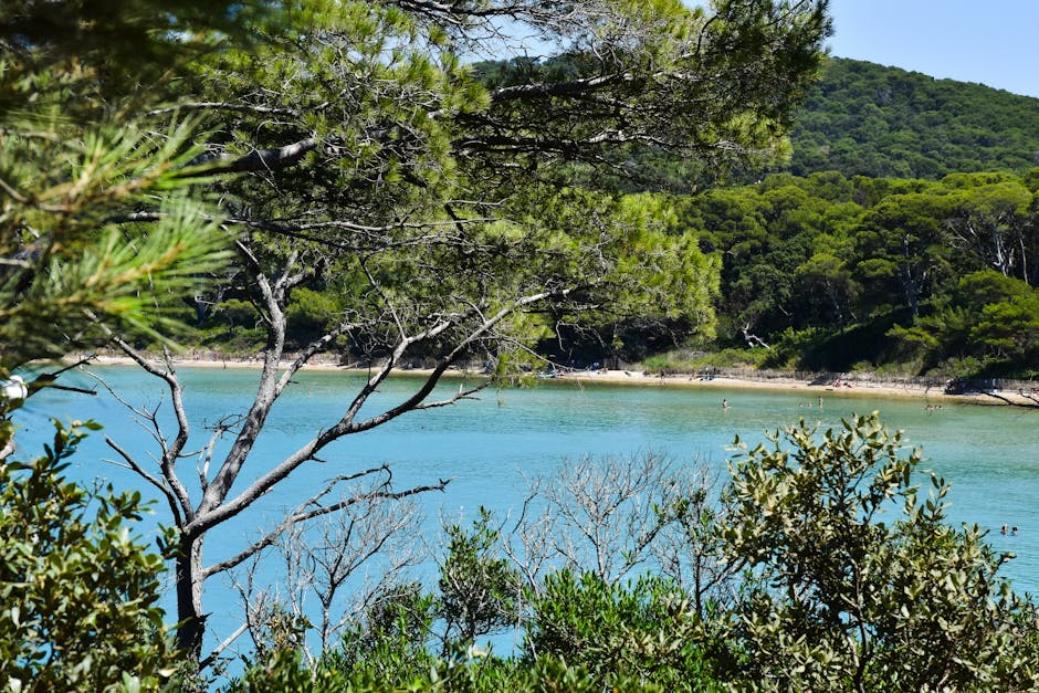
- On Porquerolles, regulations protect swimming zones and prohibit motor navigation near reserve areas: check with the Port-Cros National Park House, Avenue du Port, 83400 Hyères. Hours: seasonal; guided visit rates €8–€15.
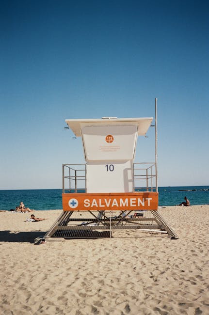
- In the Camargue, the beaches of La Grande-Motte and Les Saintes-Maries-de-la-Mer (access via Boulevard de la Mer, 13460 Saintes-Maries-de-la-Mer) have seasonal lifeguard stations; respect the flags and specific rules for nesting areas and horse grazing zones.
Case studies and local scenarios: what to do depending on location and situation
To make the advice more concrete, here are several typical scenarios and recommended responses:
Scenario 1 — Kayaking in the Calanques of Cassis: You rent a kayak at Port de Cassis (Avenue Pasteur, 13260 Cassis) — rate €25/hour. Once at sea the Mistral picks up, the sea chops up and a lateral current is dragging you away from the headland. Action: paddle parallel to the coast to avoid being swept into the breaking zone at the foot of Cap Canaille; return to port using swell grooves as visual references. If conditions worsen, seek shelter in a protected spot and use the VHF to alert the harbour master.
Scenario 2 — Swimming at Porquerolles with an east wind: La Courtade beach (Route de la Plage, Port de Porquerolles, 83400 Hyères) is usually lifeguarded in season. If the Levant picks up, you’ll notice long waves and swell pulling offshore near rocky points. Action: stay within lifeguarded zones, obey the flags and avoid rocky points where lateral currents form. In an emergency, seek the lifeguard station (seasonal) or call 112.
Scenario 3 — Boat trip from Toulon with a sudden weather change: Departing from Port de Toulon (Place Monsenergue, 83000 Toulon) for a coastal cruise, the forecast was calm but a Mistral builds. Action: return immediately to port, follow the harbour master’s instructions and stow equipment correctly. Berthing and towing fees vary; if you need assistance contact the local SNSM or harbour office. Consider a towing insurance subscription if you go out frequently (annual plans €50–€150).
Conclusion — Respect, information and caution: three golden rules for the Provençal coast
The Provençal coast is an exceptional natural treasure: its diversity captivates — white calanques, golden beaches, wild estuaries and pristine islands. But it requires understanding the forces that shape it. Winds (Mistral, Tramontane, Levant), local currents and sea level variations are factors to consider for any coastal activity. Contrary to popular belief, the Mediterranean’s small tidal amplitude does not mean an absence of risk: combined effects of wind and seabed relief can create hazardous situations.
To enjoy the sea safely, follow these simple but essential principles: 1) Get informed before you go: check Météo-France, local harbour masters (Marseille Old Port, Port of Cassis, Port of Toulon, Hyères ferry terminal) and the Calanques National Park for access restrictions. 2) Prepare your outing: bring suitable gear (lifejacket, VHF, wetsuit), drinks, sun protection and a first aid kit, and respect tide times and marked signage. 3) Adopt the right emergency reflexes: don’t fight a current, swim parallel to shore, call emergency services (112) and alert harbour masters or the SNSM when necessary.
Also respect local rules and protected areas: some zones are nature reserves (Porquerolles, Port-Cros, parts of the Calanques) and safeguard local flora and fauna; access may be closed during fire risk or bird protection periods. Prefer licensed operators for guided outings and equipment rental (kayak, paddle, diving) — the prices in this guide are indicative: €15–€45 for daily activities, €25–€60 for island shuttles, €40 and up for quality safety gear.
With these points in mind you’ll not only appreciate the coastal beauty of Provence but also reduce risk and respond effectively if something goes wrong. The sea is a magnificent ally; it demands respect, humility and preparation. Fair winds — and above all, stay safe.